Last updated 2026-07-25
TL;DR
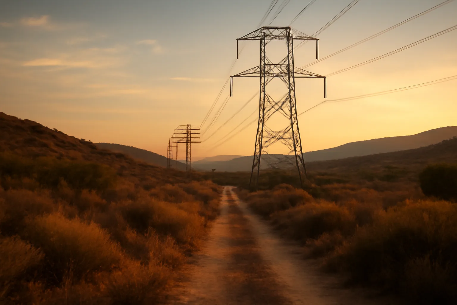
PG&E's 2021 Wildfire Mitigation Plan, filed with the CPUC, laid out grid-hardening targets (covered conductor, PSPS protocols, vegetation management) for its 70,000+ square mile service area. It's now outdated as a standalone document, but its baseline data still explains why parts of Northern and Central California carry higher utility-caused fire risk, and why insurers still flag those zones for non-renewal even years later.
What was in PG&E's 2021 wildfire mitigation plan?
PG&E's 2021 Wildfire Mitigation Plan (WMP) was the utility's annual filing to the California Public Utilities Commission (CPUC), required under Senate Bill 901 (2018), which mandates that every electric utility in the state submit a plan detailing how it will reduce wildfire ignition risk from its equipment [1]. The 2021 version ran to thousands of pages and covered vegetation management around power lines, plans to underground or install covered conductor on high-risk circuits, weather station and camera deployment, and Public Safety Power Shutoff (PSPS) protocols. The headline commitment in the 2021 plan was to install covered conductor (insulated wire that reduces ignition risk when vegetation or debris contacts the line) on roughly 1,455 circuit miles that year, part of a larger multi-year push to cover thousands of miles of distribution lines in high fire-threat districts [2]. PG&E's service territory spans about 70,000 square miles across Northern and Central California, and a large share of that footprint sits in CAL FIRE-designated Tier 2 and Tier 3 high fire-threat zones [3]. The plan also documented PG&E equipment's role in some of the state's worst fires, including the 2018 Camp Fire, which killed 85 people and was found by CAL FIRE investigators to have been caused by PG&E transmission line equipment failure [4]. That finding shaped almost everything in the years of WMPs that followed: aggressive vegetation clearance targets, expanded PSPS triggers, and a public commitment to underground 10,000 miles of distribution line over time, a program PG&E has continued to expand in later annual plans. If you're a homeowner today, the 2021 plan itself isn't something you need to read cover to cover. What matters is understanding that it set the baseline: the circuit-by-circuit risk tiers, the PSPS event thresholds, and the vegetation clearance standards that show up in later plans and in how insurers assess your street.
Is the 2021 plan still in effect, or has it been replaced?
No. The 2021 WMP was superseded by later annual filings, most recently multi-year plans covering 2023 through 2025 and beyond, since SB 901 and subsequent legislation require utilities to update and refile these plans regularly [1]. The CPUC's Wildfire Safety Division (now under the Office of Energy Infrastructure Safety) reviews and approves updated plans each cycle. What carried forward from 2021: the circuit-mile undergrounding and covered-conductor targets kept scaling up in later plans, PG&E reported crossing 1,000 miles of underground line completed by 2023 as part of its 10,000-mile commitment [5]. PSPS protocols got refined too, with narrower shutoff footprints and faster restoration times as sensors and weather modeling improved. If you want current information instead of the 2021 baseline, check the Office of Energy Infrastructure Safety's public WMP portal, which posts each utility's latest approved plan and annual progress reports. Don't rely on a five-year-old PDF to judge your current fire risk exposure or PSPS likelihood.
When does the California defensible space law go into effect?
| Zone 0 | 0-5 feet | Ember-resistant zone (phased rule, see below) | |
|---|---|---|---|
| Zone 1 | 5-30 feet | Lean, clean, and green: remove dead vegetation, space plants | |
| Zone 2 | 30-100 feet | Reduced fuel, spaced trees and shrubs | CAL FIRE's guidance states plainly: "Defensible space is the buffer you create between a building on your property and the grass, trees, shrubs, or any wildland area that surround it" [6]. That buffer is what gives firefighters a safe place to defend your home and slows a fire's approach. For a full breakdown of what goes in each zone and how to document it for an insurer, see defensible space zones. |
California's defensible space requirement under Public Resources Code Section 4291 is already in effect and has been since the 1965 original statute, with major amendments over the decades expanding the requirement to 100 feet of defensible space around structures in State Responsibility Areas and designated Very High Fire Hazard Severity Zones. This isn't a future law; it's current and enforceable now. What's changed recently is enforcement structure, not the basic 100-foot rule. CAL FIRE and local fire agencies conduct defensible space inspections, and as of recent legislative sessions, additional funding and staffing has gone toward inspection programs. The zone breakdown that CAL FIRE uses: | Zone | Distance from structure | Requirement |
What fire-safe home rules take effect in 2026?
California's Zone 0 ember-resistant zone requirement, mandated under Assembly Bill 3074 (2020) and developed through CAL FIRE's Board of Forestry rulemaking process, has been in a multi-year regulatory development phase, and CAL FIRE's public materials have referenced 2026 as a target implementation window for the Zone 0 regulation to become enforceable for existing homes in Very High Fire Hazard Severity Zones. As of this writing, the exact final effective date and enforcement mechanism (whether tied to point-of-sale, insurance, or code inspection) is still being finalized through the Board of Forestry's rulemaking docket, so homeowners should check the current status directly rather than assume a fixed date. Zone 0 covers the 0-to-5-foot ring immediately touching your house: no combustible mulch, no wood fencing attached directly to the structure, no vegetation touching siding, and ember-resistant surfacing like gravel, pavers, or concrete. This is the zone most connected to home ignition during actual wildfires, since research from the Insurance Institute for Business & Home Safety has found embers, not direct flame contact, cause most home losses in wildland-urban interface fires. Until the state finalizes enforcement dates, treat Zone 0 as something to fix now anyway. It's the cheapest defensible space work per square foot (mostly labor and gravel, not tree removal) and it's the zone most insurers' inspectors photograph first.
Why won't people follow the defensible space law in California?
Compliance gaps come down to cost, labor availability, and enforcement inconsistency, not ignorance of the rule. Clearing 100 feet of defensible space on a wooded half-acre lot can run from a few hundred dollars in DIY labor to several thousand dollars for professional clearing, chipping, and tree work, and many rural and older homeowners, especially those on fixed incomes, simply can't absorb that cost every year as vegetation regrows. Enforcement is also uneven. Cal Fire and local fire departments are required to conduct inspections in State Responsibility Areas, but staffing has historically lagged behind the number of parcels needing checks, so many properties go years without a formal inspection or citation. Without a real penalty showing up, deferred maintenance is an easy trap to fall into, especially for people who've lived in the same place for decades without a fire ever reaching their property. There's also a documentation problem that has nothing to do with willingness: some homeowners do the clearing work every year but have no photos, receipts, or dated records to show an insurer or inspector after the fact. When a non-renewal notice arrives, they can't prove compliance even though they did the work. That's a separate problem from not clearing brush, and it's one a simple document folder solves. If you want a structured way to build that record before you need it, a $99 one-time Wildfire Insurance Survival Kit walks you through photographing each defensible space zone and organizing the paperwork insurers actually ask for.
How to prevent wildfires around your home
Preventing an ignition on your own property comes down to five things, in rough order of impact: clearing the 0-5 foot ember zone, maintaining 5-30 foot lean-clean-green space, hardening the roof and vents, managing gutters and roof debris, and keeping equipment (mowers, grills, generators) away from dry grass during red flag conditions. Most human-caused wildfire ignitions trace back to equipment use, debris burning, and vehicles, according to CAL FIRE's incident data, not lightning. That means a lot of prevention is behavioral: don't mow dry grass midday in summer, don't park a hot vehicle over dry vegetation, don't burn debris on windy days, and check local burn permit status before any outdoor fire. For structure hardening specifically (ember-resistant vents, Class A roofing, dual-pane windows), see fire safe landscaping for the planting side and home hardening for the structural side. The two work together; neither one alone is enough.
How to prepare for a wildfire (and forest fires generally)
Preparing for a wildfire means having an evacuation plan, a go-bag, defensible space already cleared, and your insurance documentation organized before a red flag warning, not during one. Ready.gov's wildfire preparedness guidance recommends assembling an emergency supply kit, planning two evacuation routes from your neighborhood, and signing up for local emergency alerts through your county's system [7]. The practical checklist: - Know your evacuation zone and sign up for county alerts
- Keep a go-bag with medications, documents, chargers, and a change of clothes for each household member
- Photograph your home's exterior and defensible space zones now, dated, for insurance purposes
- Back up an inventory of belongings (photos or video) to cloud storage, more than a local drive
- Keep gas tanks above half full during fire season That third and fourth item are the ones people skip and regret. If your home is damaged or destroyed, the insurer will ask for proof of what existed and proof you maintained defensible space. Waiting until after a loss to reconstruct that record from memory is much harder than doing it now. This is a documentation task, not a claims-negotiation task; we don't file claims or negotiate with insurers on your behalf, but organizing your own evidence ahead of time makes whatever you decide to do later much easier. For forest fires specifically (as opposed to structure fires), the same core principles apply at a landscape scale: reduce fuel continuity, maintain access roads for fire equipment, and follow local burn restrictions. See only you can prevent wildfires for the broader public-land prevention angle.
How can we prevent forest fires at a community level?
Community-level forest fire prevention relies on coordinated fuel breaks, prescribed burns, road and utility corridor clearance, and public compliance with burn bans, since no single homeowner's defensible space stops a fire moving through a whole watershed. CAL FIRE and the U.S. Forest Service jointly manage prescribed fire programs intended to reduce accumulated fuel loads in forests that have gone decades without natural fire cycles due to suppression policy. Utility-caused ignitions are a separate but related lever; this is exactly why PG&E's WMP filings matter at a regional level even though most homeowners never read them. Reducing vegetation contact with power lines, undergrounding circuits in the highest-risk corridors, and using PSPS during extreme wind events are all forest-fire-prevention tools operating at utility scale, not homeowner scale. HOAs and rural fire safe councils can push this further by organizing group chipping days, shared equipment rental, and neighborhood-wide defensible space audits, since fuel continuity between properties (one neglected lot next to a compliant one) undermines the whole street's protection. CAL FIRE's Fire Safe Council network exists specifically to coordinate this kind of shared work.
Is Santa Barbara safe from fire?
No California coastal community, including Santa Barbara, is free of wildfire risk, and much of the city's urban-wildland interface (especially the foothill neighborhoods along the Santa Ynez foothills) sits in a CAL FIRE-designated Very High Fire Hazard Severity Zone . Santa Barbara County has experienced several major fires in the last two decades, including the 2017 Thomas Fire, which at the time was the largest wildfire in modern California history by acreage, and the resulting Montecito debris flow that killed 23 people in January 2018 . Santa Barbara's specific risk factors: dense chaparral fuel on steep terrain above residential neighborhoods, Sundowner wind events that push fire downslope toward the city at speed, and long dry summers with minimal rain from roughly May through October. These are the same conditions driving insurance non-renewals across much of coastal and foothill Southern California, not something unique to one town. If you live in Santa Barbara's foothill zones (Riviera, Mission Canyon, San Roque, the areas above East Valley Road in Montecito), defensible space compliance and Zone 0 hardening matter more than in flatter parts of the city, and insurers underwriting those addresses know the terrain well. Check your specific parcel's fire hazard severity zone designation through CAL FIRE's FHSZ viewer rather than assuming citywide risk applies evenly.
How does PG&E's wildfire mitigation work connect to my insurance non-renewal?
Insurers use CAL FIRE's fire hazard severity zone maps, utility PSPS frequency data, and their own catastrophe models together, so a property in a high-PSPS-frequency PG&E circuit area in a Very High FHSZ zone often reads as higher risk even if the home itself is well-hardened. PG&E's WMP filings are public record precisely because state regulators wanted transparency about which circuits and communities carry elevated utility-caused ignition risk, and that same public data feeds into how some insurers model exposure. This doesn't mean you're stuck. Homes with documented defensible space, Zone 0 hardening, and Class A roofing sometimes qualify for California's FAIR Plan or specialty wildfire policies, and some insurers offer premium credits for mitigation work, particularly under the state's Safer from Wildfires regulation, which requires insurers to give discounts for specific hardening actions . The California Department of Insurance's Safer from Wildfires regulation lists qualifying actions including Zone 0 compliance, ember-resistant vents, and multi-pane windows. We don't negotiate with insurers, file claims, or promise coverage or reinstatement. What you can control is building a clean, dated record of the mitigation work you've done, which is the strongest thing a homeowner can hand an underwriter or adjuster. That's the entire purpose behind organizing a home hardening file before you're asked for one.
What should I actually do this week if I got a non-renewal letter?
Read the non-renewal letter carefully for the stated reason (wildfire risk, inspection failure, or non-renewal unrelated to wildfire), then check your parcel's CAL FIRE fire hazard severity zone status and your local fire district's specific defensible space requirements, since some counties add stricter rules on top of the state 100-foot minimum. Photograph all three defensible space zones around your home today, dated, before doing any more clearing work, so you have a clear before-and-after record. Next, request a written defensible space inspection from your local fire department if one hasn't happened recently; a passed inspection report is documentation an insurer or the FAIR Plan will want to see. Then look at Zone 0 specifically: even without a firm 2026 enforcement date locked in everywhere yet, doing that work now costs less than doing it under deadline pressure later. Finally, organize everything into one file: inspection reports, dated photos, contractor receipts for any clearing or hardening work, and your home's construction details (roof type, vent type, siding material). That's the exact structure behind the $99 one-time Wildfire Insurance Survival Kit, built for homeowners in exactly this situation. It won't get your policy reinstated and it isn't legal or insurance advice, but it puts your documentation in the format underwriters and adjusters actually want to see.
Frequently asked questions
When does the California defensible space law go into effect?
California's core defensible space law (Public Resources Code 4291) has been in effect since 1965 and currently requires 100 feet of clearance around structures in State Responsibility Areas and Very High Fire Hazard Severity Zones. It's not a future rule; it's enforceable now. The newer Zone 0 ember-resistant zone rule is still in rulemaking, with 2026 referenced as a target implementation window.
Why won't people follow the defensible space law in California?
Mainly cost and inconsistent enforcement. Clearing 100 feet of brush can cost thousands of dollars for professional work, and inspection staffing hasn't kept pace with the number of parcels needing checks, so many properties go years without a citation. Some compliant homeowners also lack dated photos or receipts proving the work happened.
How to prevent wildfires around my property?
Clear the 0-5 foot ember zone of combustibles, maintain lean-clean-green spacing from 5-30 feet, install ember-resistant vents, keep gutters and roofs debris-free, and avoid equipment use (mowing, grinding, welding) on dry grass during red flag warnings. Most human-caused ignitions come from equipment and debris burning, not lightning.
How do I prepare for a wildfire?
Sign up for county emergency alerts, know two evacuation routes, keep a go-bag ready, photograph your home and defensible space zones now for insurance documentation, and back up a belongings inventory to cloud storage. Ready.gov recommends preparing an emergency supply kit before fire season, not during an active warning.
How can we prevent forest fires at a larger scale?
Community and agency-level prevention relies on prescribed burns to reduce accumulated fuel, fuel breaks along ridgelines and roads, utility vegetation management and circuit hardening (like PG&E's covered-conductor program), and public compliance with burn restrictions. No single property's defensible space stops a fire moving through a connected landscape.
What fire-safe home rules take effect in 2026 in California?
CAL FIRE's Zone 0 ember-resistant zone rule, developed under Assembly Bill 3074, has referenced 2026 as a target implementation window for existing homes in Very High Fire Hazard Severity Zones. The exact final effective date and enforcement mechanism were still being finalized through Board of Forestry rulemaking as of this writing, so check current status directly.
Is Santa Barbara safe from fire?
No coastal California city is free of wildfire risk, and Santa Barbara's foothill neighborhoods sit in CAL FIRE Very High Fire Hazard Severity Zones. The 2017 Thomas Fire and the 2018 Montecito debris flow, which killed 23 people, show the risk is real and recent, driven by steep chaparral terrain and Sundowner wind events.
Is PG&E's 2021 wildfire mitigation plan still current?
No. It was superseded by later annual and multi-year filings with the CPUC's Office of Energy Infrastructure Safety. The 2021 plan's circuit-mile and undergrounding targets kept scaling up in subsequent plans, so check the current approved WMP rather than the 2021 filing for up-to-date figures.
What caused PG&E's biggest wildfires?
CAL FIRE investigators determined the 2018 Camp Fire, which killed 85 people, was caused by a failure in PG&E transmission line equipment. That finding directly shaped the aggressive vegetation management, undergrounding, and PSPS commitments documented in PG&E's subsequent Wildfire Mitigation Plans.
Does defensible space work actually lower my insurance premium?
Under California's Safer from Wildfires regulation, insurers are required to offer discounts for specific mitigation actions, including Zone 0 compliance, ember-resistant vents, and multi-pane windows. Whether a specific insurer applies a discount to your policy is between you and them; documenting the work is the part you control.
What's the difference between Zone 0, Zone 1, and Zone 2?
Zone 0 is 0-5 feet from the structure and requires an ember-resistant surface with no combustible materials touching the home. Zone 1 is 5-30 feet and requires lean, clean, and green vegetation management. Zone 2 is 30-100 feet and requires reduced fuel load with spaced trees and shrubs.
How do I find my property's fire hazard severity zone?
CAL FIRE publishes a public Fire Hazard Severity Zone viewer covering State Responsibility Areas and, in updated maps, Local Responsibility Areas too. Search your address there to see whether you're in a Moderate, High, or Very High zone, which affects both defensible space requirements and insurer risk models.
Sources
- California Legislative Information, SB 901 (2018): Utilities must submit annual wildfire mitigation plans
- CAL FIRE Fire Hazard Severity Zone Maps: Tier 2 and Tier 3 high fire-threat district designations
- CAL FIRE Camp Fire Incident Investigation: Camp Fire caused by PG&E transmission equipment, killed 85 people
- PG&E Undergrounding Program Update: Underground line program progress toward 10,000-mile commitment
- California Public Resources Code Section 4291: 100-foot defensible space requirement in State Responsibility Areas
- CAL FIRE Zone 0 / Ember-Resistant Zone Rulemaking: Zone 0 ember-resistant zone rule development and target timeline
- California Department of Insurance, Safer from Wildfires Regulation: Insurers required to offer discounts for specific wildfire mitigation actions